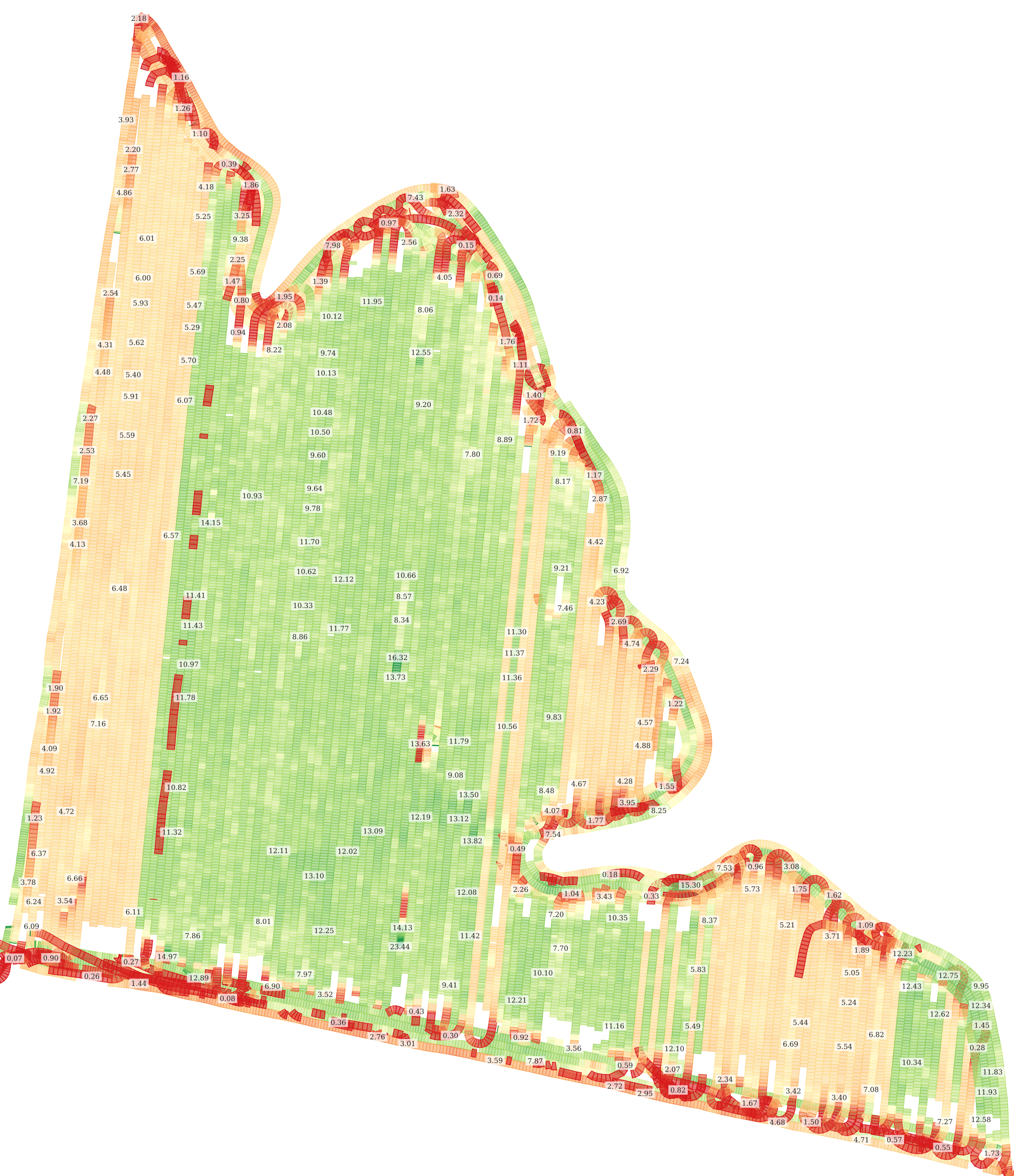
# 18. YieldDatasetsMap: custom color schema
It is possible to change the color schema of the WMS representation of the soil dataset. The color parameters named `"c1", "c2", "c3", "c4", and "c5"` have to be added at the end of the "`env`" parameter in "`geoMaps`" → "`url`".
{% hint style="info" %}
`The "env" parameters of "geoMaps" → "url" → "raw_" prefix should look like env=v1:27.39150047302246%3Bv2:34.425498962402344%3Bv3:38.2135009765625%3Bv4:43.2135009765625%3Bv5:55.86349868774414%3Bc1:%23ca0020%3Bc2:%23f4a582%3Bc3:%23f7f7f7%3Bc4:%2392c5de%3Bc5:%230571b0` where %23 is # symbol and %3b is ; symbol. New colors (`"c1", "c2", "c3", "c4"`) are incorporated here `%3Bc1:%23ca0020%3Bc2:%23f4a582%3Bc3:%2392c5de%3Bc4:%230571b0`
{% endhint %}
### Sample: Default Color Schema