# Factor de heterogeneidad
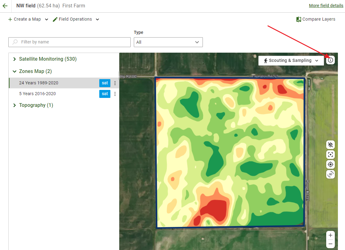
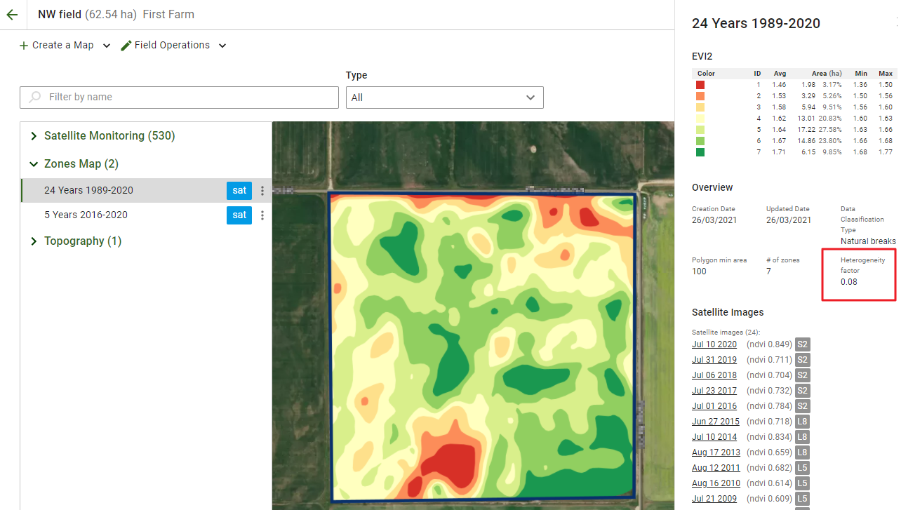
Una de las funciones que ofrece GeoPard es el factor de heterogeneidad de sus parcelas. Para revisarlo, abra la parcela requerida, seleccione el mapa de zonas y haga clic en el **Información** icono en el mapa. Se abrirá el panel lateral.
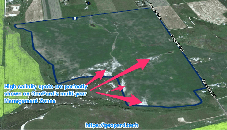
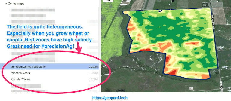
El factor de heterogeneidad es el número que muestra el nivel de heterogeneidad/variabilidad de sus parcelas. Cuanta más variabilidad tenga una parcela, mayor es la necesidad de tecnologías de agricultura de precisión. Es especialmente útil cuando se utiliza junto con los análisis multianuales de GeoPard (historial de 30 años).
Si tiene muchas parcelas, puede ayudarle a entender qué parcelas priorizar primero con [Aplicaciones de dosis variable](http://test/) (siembra, fertilización, pulverización).
Al combinar el factor de heterogeneidad de GeoPard con los análisis multianuales, puede ahorrar al máximo en insumos químicos en las parcelas más heterogéneas.
---
# Agent Instructions: Querying This Documentation
If you need additional information that is not directly available in this page, you can query the documentation dynamically by asking a question.
Perform an HTTP GET request on the current page URL with the `ask` query parameter:
```
GET https://docs.geopard.tech/geopard-tutorials/esp/tour-del-producto-aplicacion-web/mapas-de-zonas-y-analiticas/factor-de-heterogeneidad.md?ask=
```
The question should be specific, self-contained, and written in natural language.
The response will contain a direct answer to the question and relevant excerpts and sources from the documentation.
Use this mechanism when the answer is not explicitly present in the current page, you need clarification or additional context, or you want to retrieve related documentation sections.