> For the complete documentation index, see [llms.txt](https://docs.geopard.tech/geopard-tutorials/llms.txt). Markdown versions of documentation pages are available by appending `.md` to page URLs; this page is available as [Markdown](https://docs.geopard.tech/geopard-tutorials/dnk/produktguide-mobilapp/working-in-the-field-scouting-zones-maps.md).
# Arbejde i marken/Scouting af zonekort
Brug zonekort i marken til at scoute variation, skrive notater og handle hurtigere.
Arbejde i marken / kort over registreringszoner
Når du er ude i marken, skal du åbne appen og vælge den gård, du vil undersøge. På næste skærmbillede vælger du den mark, du vil besigtige.
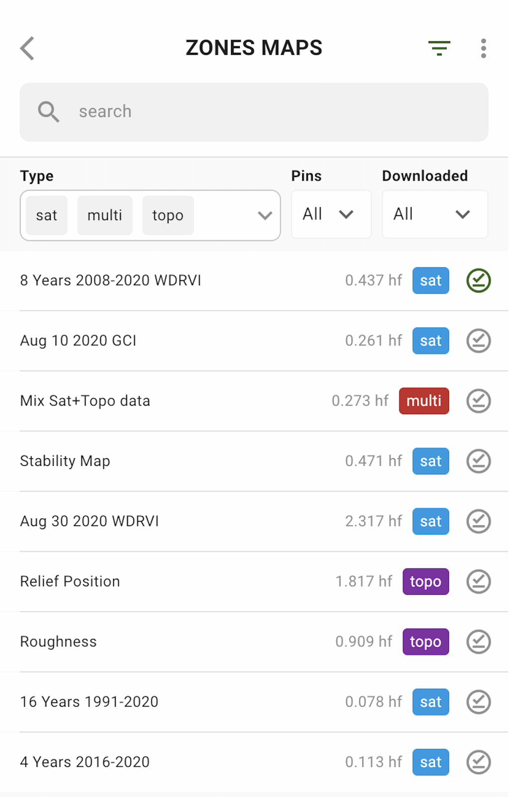
Tryk derefter på KORT OVER ZONER, og vælg så det kort over zoner, du vil besigtige.
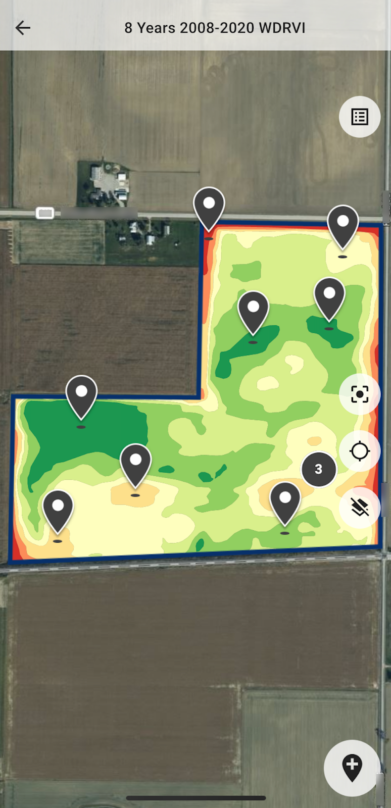
Det valgte kort over zoner med markeringer til besigtigelse vises på skærmen.
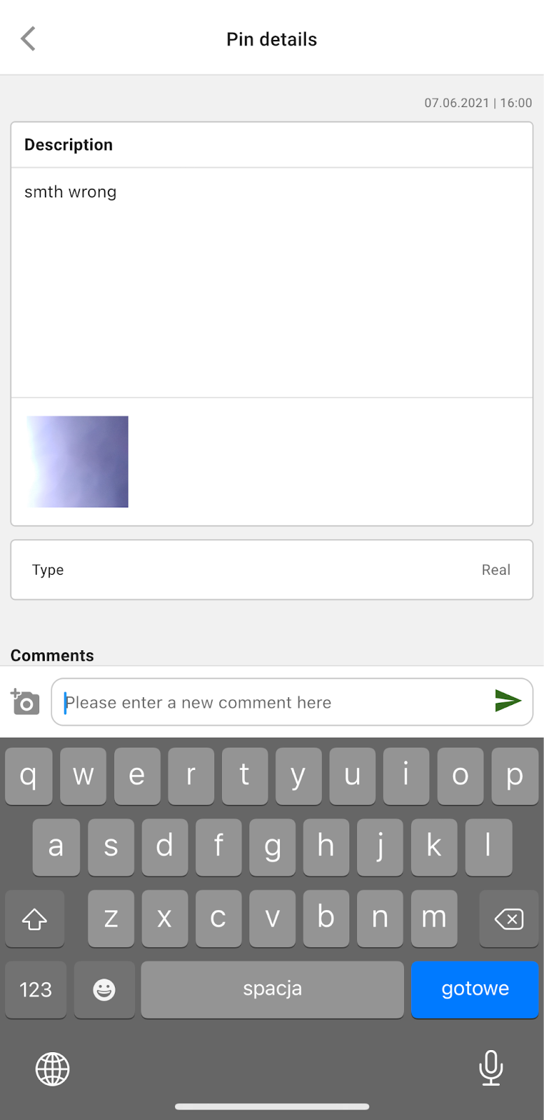
Tryk på en markering for at se dens oplysninger og/eller tilføje en kommentar eller tilføje/tage et billede:
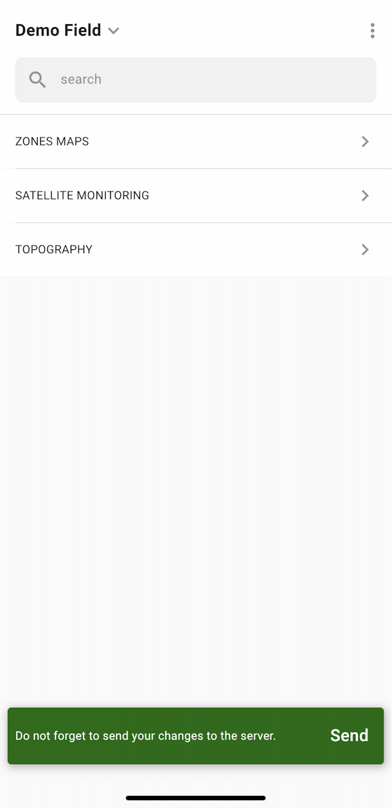
Hvis du har redigeret kortet over zoner eller markeringerne til besigtigelse, vises en meddelelse, hvor du bliver bedt om at synkronisere ændringerne med serveren. Tryk på “Send” for at synkronisere ændringerne med serveren.
---
# Agent Instructions
This documentation is published with GitBook. GitBook is the documentation platform designed so that both humans and AI agents can read, navigate, and reason over technical content effectively. Learn more at gitbook.com.
## Querying This Documentation
If you need additional information that is not directly available in this page, you can query the documentation by asking a question.
Perform an HTTP GET request on the following URL with the `ask` and `goal` query parameters:
```
GET https://docs.geopard.tech/geopard-tutorials/dnk/produktguide-mobilapp/working-in-the-field-scouting-zones-maps.md?ask=&goal=
```
`ask` is the immediate question: it should be specific, self-contained, and written in natural language.
`goal` is what the user is ultimately trying to achieve, the reason they need the answer. Sharing it helps GitBook give you a better, more relevant answer. A goal is most helpful when it describes the outcome the user wants rather than restating the question. For example, with `ask=how do I create an API token`, a goal like `automate deployments from our CI pipeline` lets GitBook tailor the answer to that use case.
The response will contain a direct answer to the question and relevant excerpts and sources from the documentation.
Use this mechanism when the answer is not explicitly present in the current page, you need clarification or additional context, or you want to retrieve related documentation sections.